


Services
True North Geomatics
Exploring underwater depths with precision and clarity.

Bathymetric Surveying involves measuring water depth to map underwater terrain. We utilize single-beam and multi-beam echo sounders along with unmanned surface vessels (USVs) to deliver high-precision data for rivers, lakes, and marine environments — ensuring efficient, accurate, and safe underwater mapping.
Corporate Culture
COMPANY CULTURE



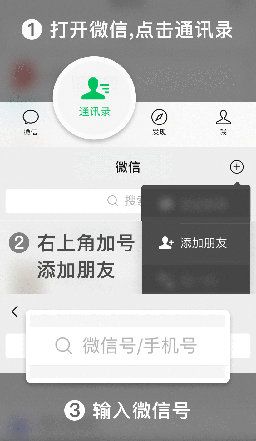
 Scan to Add WeChat